Earthquake evidence Earthquake evidence Earthquake evidence
On the southwest coast of Washington, geologist Brian Atwater leads participants on a field trip of Willapa Bay to examine centuries-old signs of an earthquake.
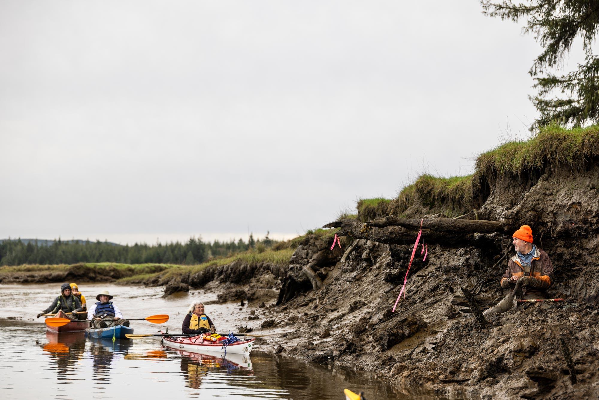
On the southwest coast of Washington, geologist Brian Atwater leads participants on a field trip of Willapa Bay to examine centuries-old signs of an earthquake.
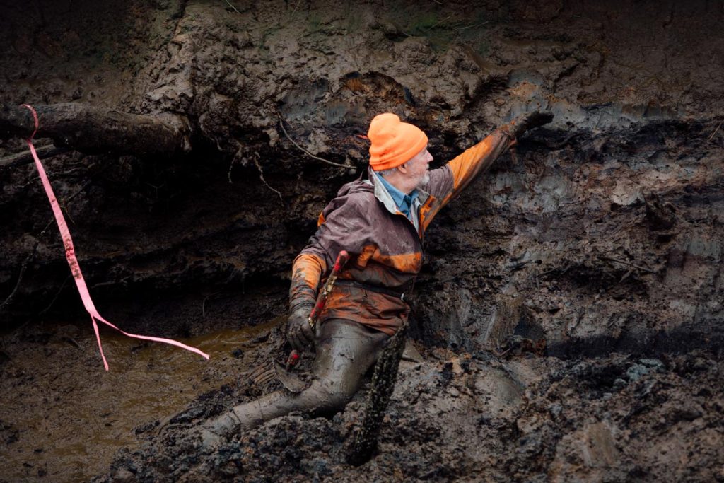
Brian Atwater, right, an affiliate professor at the UW and an emeritus scientist with the U.S. Geological Survey, interprets tree roots and muddy sediments as signs of an earthquake in 1700, during a recent field trip along an arm of Willapa Bay.
Participants included state and county emergency managers, forest ecologists, members of the Northwest Scientific Association and a Chinook tribal leader. In the 1980s and 1990s, Atwater was among the geological sleuths who identified the Cascadia Subduction Zone as a source of great earthquakes, magnitude 8 to 9. His coworkers included tree-ring scientist David Yamaguchi, ’86, who dated the deaths of western red cedars that the most recent of the earthquakes had killed at southwest Washington estuaries. That dating identified a Cascadia earthquake in 1700 as the trigger of a Pacific Ocean tsunami that caused flooding and damage in the Pacific Northwest and Japan.
Atwater led a field trip to Pacific County in March, where participants took a canoe trip to examine signs of past seismic activity through soil layer analysis.
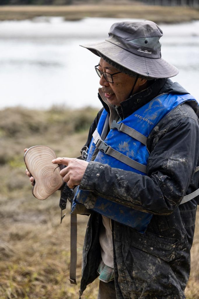
David Yamaguchi, ’86, a Japanese-American dendrochronologist, studies tree rings to determine exactly when they were formed.
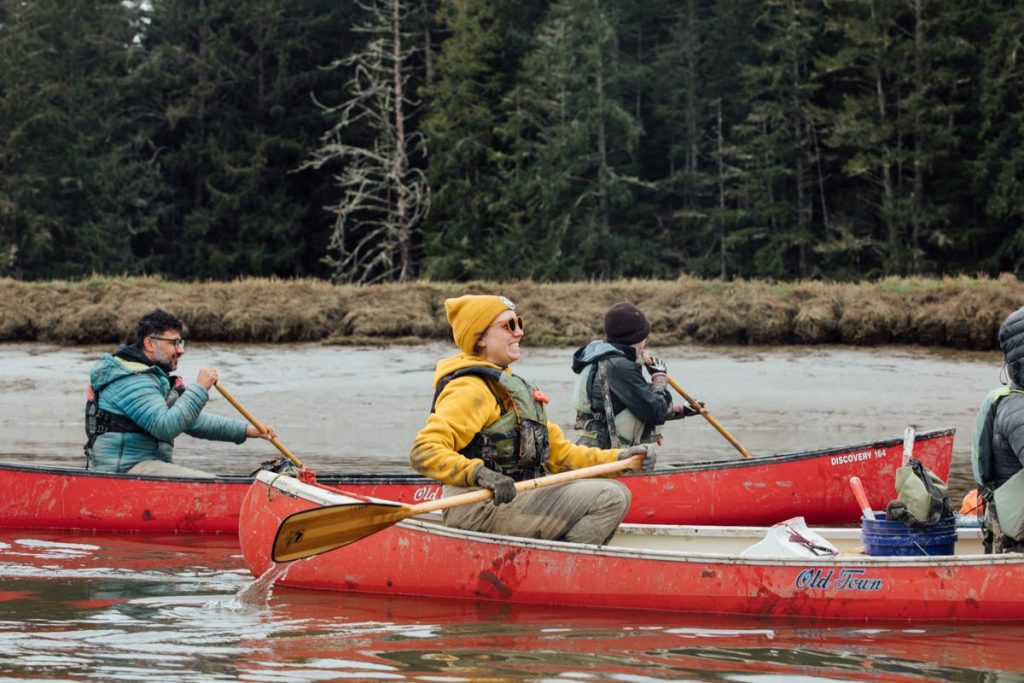
Participants, including emergency managers, ecologists, scientists and a Chinook tribal leader, canoe along the Niawiakum River in southwestern Washington.