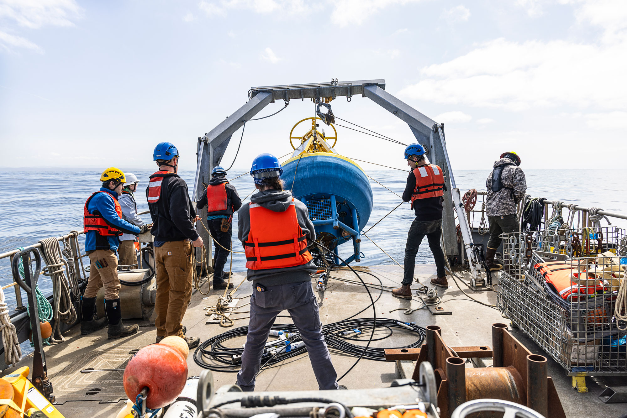
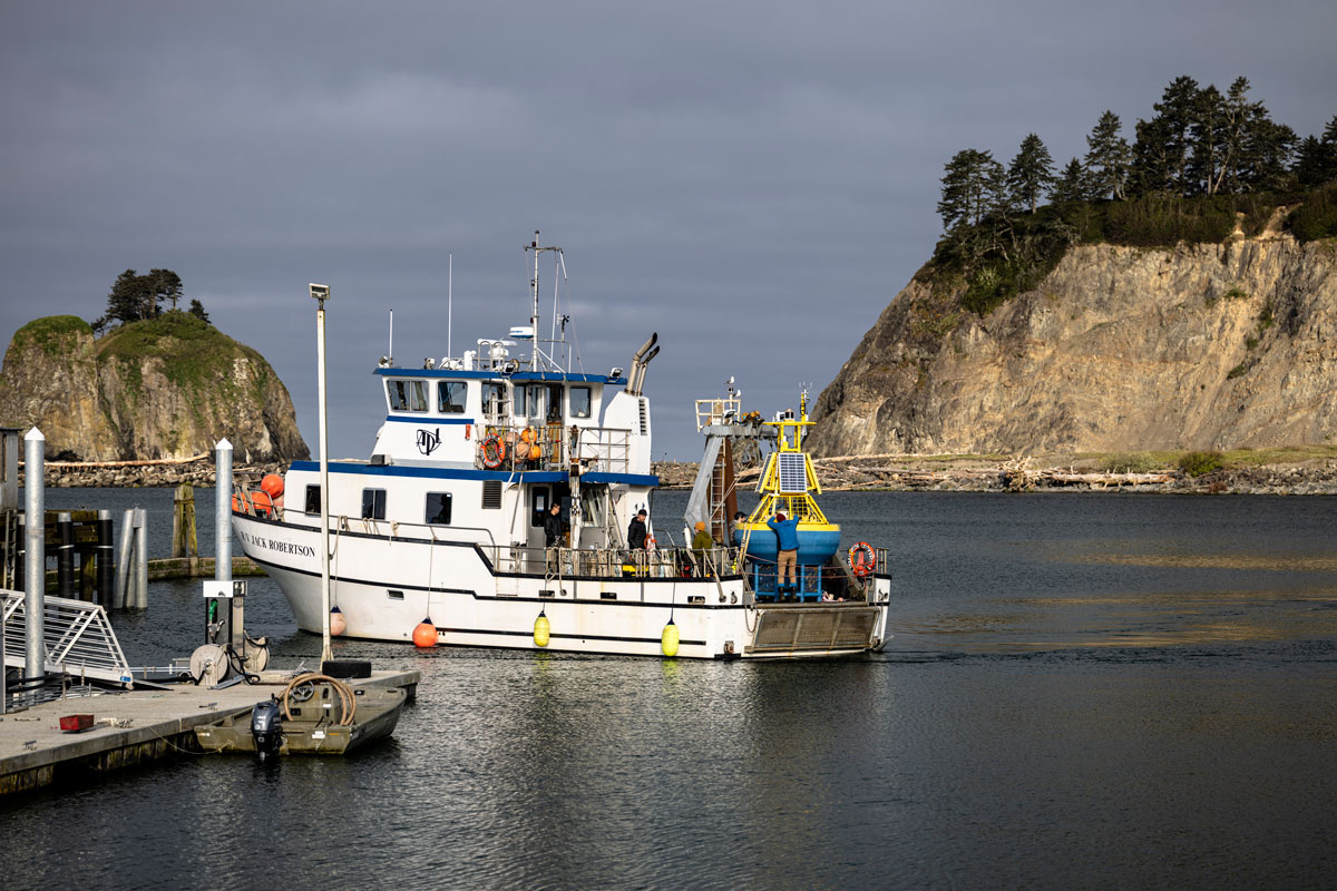
Crews aboard the UW’s R/V Jack Robertson deploy an ocean-monitoring buoy near La Push. The buoy is named Ćháʔba·(pronounced “chay buh”), which means “whale tail” in the Quileute language. It monitors weather and ocean conditions as part of the Northwest Association of Networked Ocean Observing Systems, which is housed in the UW College of the Environment. The association works with coastal communities, including tribes, to share real-time ocean information critical to fishing fleets.
Ćháʔba· was initially launched in July 2010. This April, crews deployed the summer version. Extreme weather conditions on the Washington shelf makes data collection difficult, but this mooring system provides real-time data to waterway users.
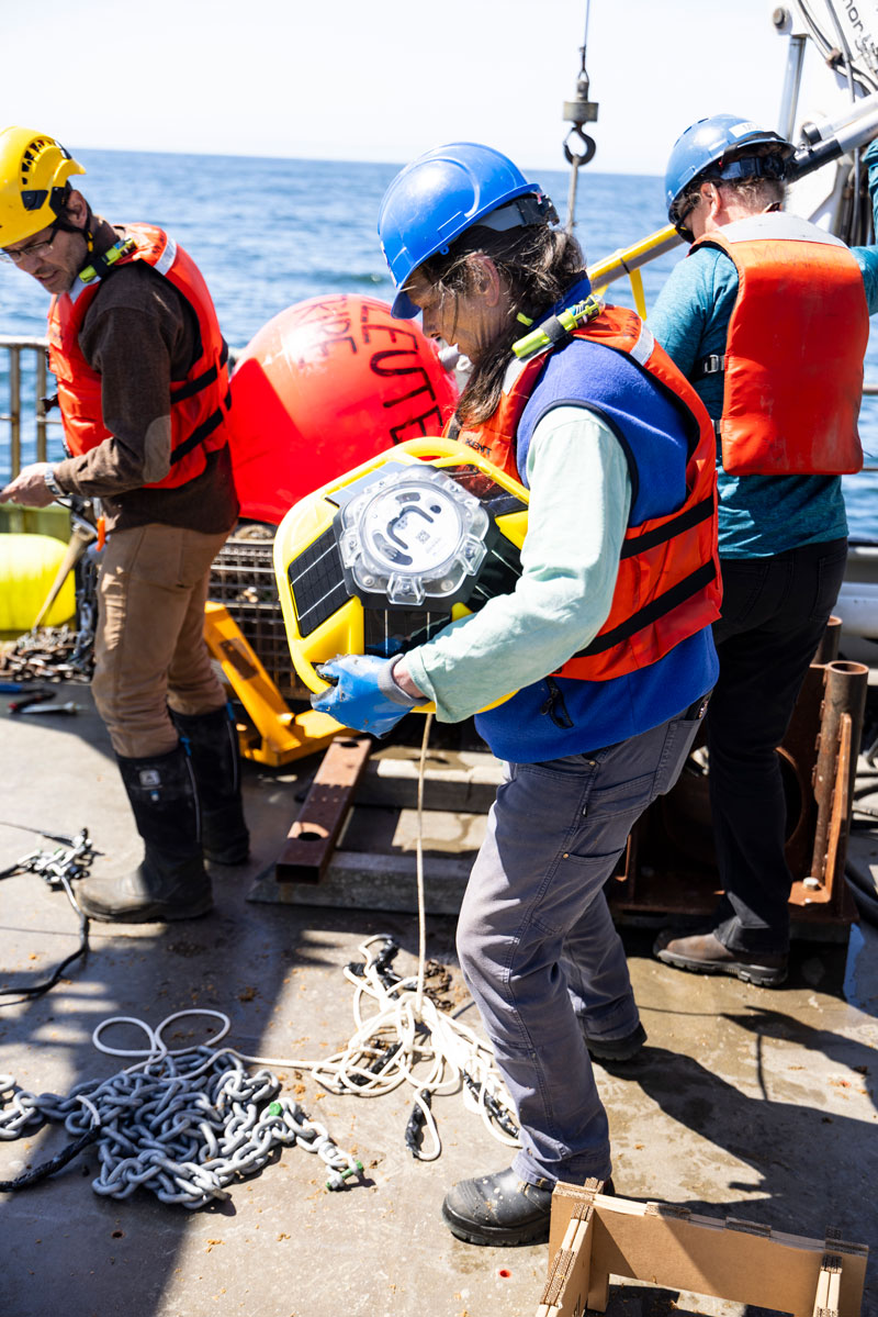
In addition to the UW’s Ćháʔba·, the Quileute Tribe also deploys backyard buoys—which can be held by one person—to add to the geographic coverage of larger buoys.