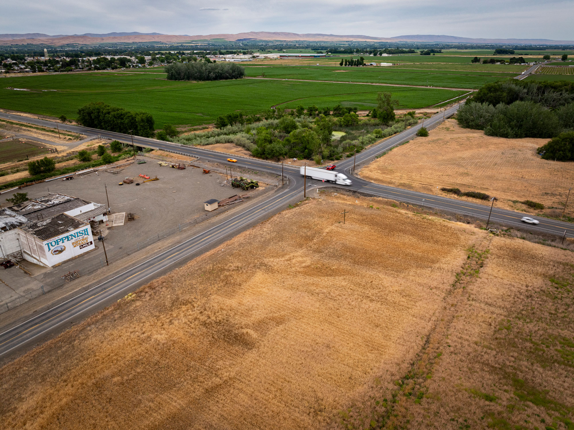
Washington state’s most dangerous intersection is where Larue Road and Highway 97 meet, just south of Toppenish.
A two-lane highway, U.S. 97 is one of the busiest north-south corridors in the state, second only to Interstate 5. Semitrucks carrying apples, hay and livestock turn right onto Larue Road bypassing Toppenish on their way east to the Tri-Cities and beyond, or turn left in the opposite direction, heading south.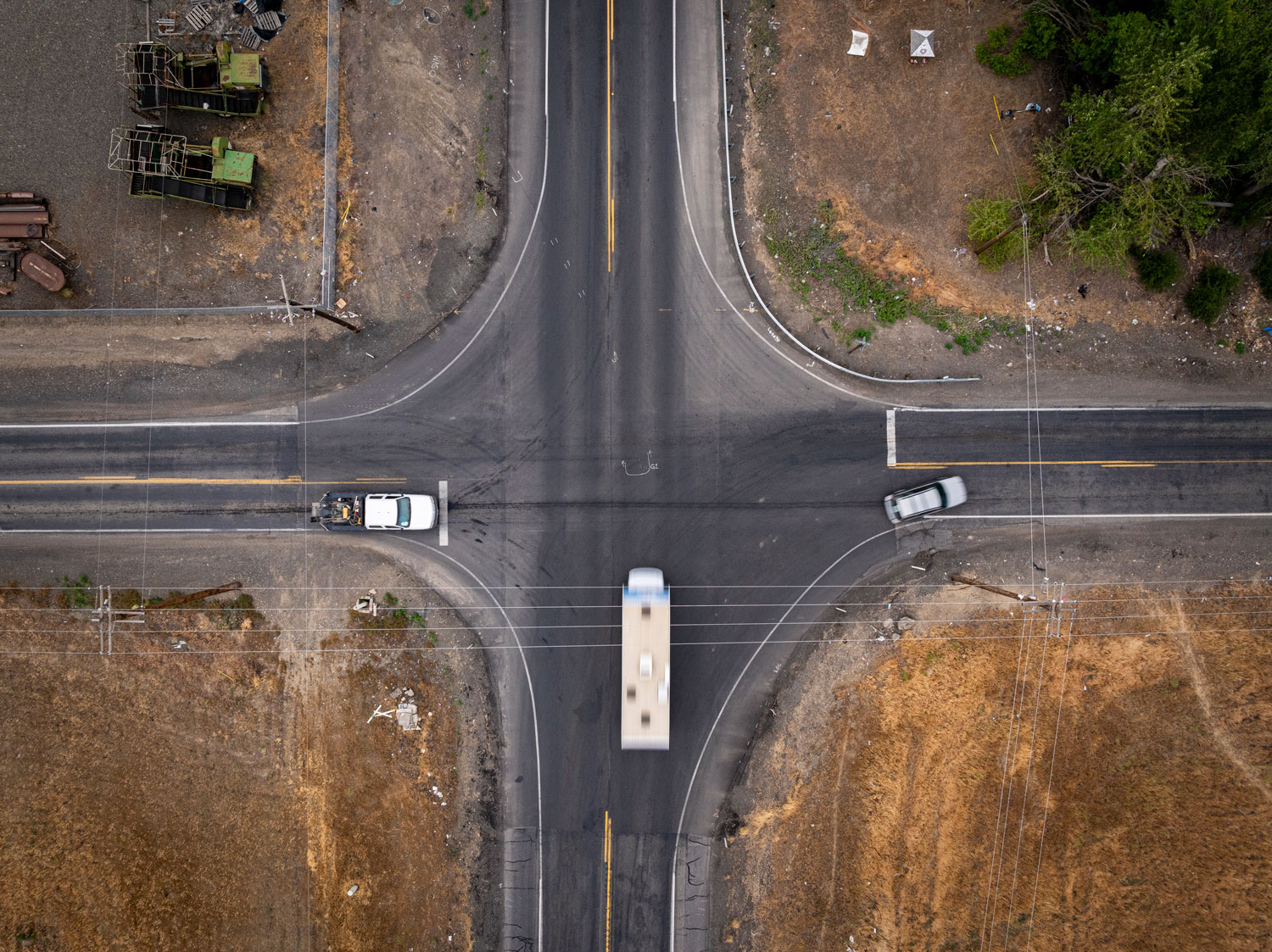
These 18-wheeled behemoths need to slow down to make the turn, and fast-moving traffic often swerves into the oncoming lane to maintain speed. There’s no passing lane on Highway 97—no way to separate industrial traffic from passenger cars, including tourists visiting the Columbia Gorge and Eastern Washington’s wineries. There’s no sidewalk for pedestrians. Everyone on the road shares two lanes and a hope that disasters can be avoided by quick-acting drivers. And that’s when the weather is good.
When the weather turns, the road becomes terrifying.
Now, a traffic sensor invented by the University of Washington’s Smart Transportation and Research Laboratory, or STAR Lab, keeps a 24-hour vigil over the intersection.
The Mobile Unit Sensing Traffic device, roughly the size of a toaster, is affixed to a telephone pole about 25 feet above the road. The MUST device uses cutting-edge technologies combined with machine learning to keep track of every vehicle that speeds by, every person who walks the shoulder, what the weather is doing and when crashes occur, or if there’s a near miss.
All the data this sensor collects is sent to safety officials with the Confederated Tribes and Bands of the Yakama Nation. The device can report a crash, including video of what happened. It can alert officials to changing weather and road conditions. The device can even relay a warning message about ice, fog or construction—or any other hazard—to electronic roadside signs. This real-time, 24/7, monitoring could be the difference between life and death.
See: How a UW-created sensor is making roads safer for the Yakama Nation and Washington drivers